© Penny Schroder Smith

© Penny Schroder Smith

© Penny Schroder Smith


Les Arcs Snow Report: 20th January 2016
Lots of snow showers have been keeping the pistes topped up
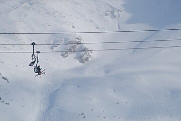
What a time it's been here in Les Arcs over the last couple of weeks. There's been an incredible amount of neige: great for the snowpack once it settles, but at the sacrifice of those who enjoy a little sunshine along the way.
The last week has seen fewer of the big dumps we saw at the beginning of the month, but still enough snow showers to keep the snow topped up in resort, with temperatures low enough to see fall after fall of the white stuff at the very bottom of the mountain.
The cold temperatures (down to -15°c in some areas) has kept the snow beautifully light and fluffy, and the snow stuck to the trees, which has kept the valley looking wonderfully wintry.
The highest peak of the resort, Aiguille Rouge, is still shut but the pisteurs, who have been working non-stop to keep us safe, have started to clear the huge amounts of snow to prepare it for opening.
It seems the latest storm has passed for good. Throughout next week there'll be no new snow, the sun will be out more often and after this weekend, temperatures will rise up to zero degrees at 2000 metres.
Arc 1600 and 1800
After a relatively cloudy afternoon on Wednesday 20th, the sun will be out in full force for Thursday 21st, when temperatures will drop to -14°c during the morning and -7°c in the afternoon. It'll be a similar case for Friday morning, although post-lunch, the cloud will return for the duration of the afternoon, when temperatures will hover around -7°c to -9°c and freezing levels will rise to 2000 metres.
Saturday 23rd will be cloudy, with the potential for some sunshine poking through, while afternoon temperatures will rise to around -2°c and will see the start of a new, light breeze from the North-East. By Sunday morning, freezing levels will have risen to just under 3000 metres and the sun will make more of an appearance throughout the day, with afternoon temperatures reaching around -2°c.
Monday will be start of temperatures hitting zero degrees and above, with the peak of it predicted for Tuesday afternoon, when it'll hit a toasty +4°c. The rest of the week, up to Friday is currently looking quite similar, with sunny skies and mild, plus zero temperatures.
Arc 1950 and 2000
The afternoon of Wednesday 20th is predicted to be mostly cloudy with light winds and temperatures of around -6°c. Along with a light breeze, both Thursday and Friday will be bright and sunny, but colder, with temperatures reaching -17°c by Friday afternoon. However, Friday afternoon's cloud cover also signifies the start of the rise in temperatures that will continue well into next week.
Saturday 23rd will be cloudy, with less brutal temperatures of around -3°c throughout the afternoon. The cloud will have cleared by the evening, ready for a sunnier day on Sunday. Sunday 24th and Monday 25th are predicted to be a mixture of sunshine and cloud, with Monday afternoon expected to be the time for temperatures to hit 0°c.
Freezing levels will stay at just under 3,000 metres on Monday afternoon and into Tuesday, when temperatures will be around +2°c and the skies will be clear. Wednesday and Thursday are set to be corkers, with full sunshine, light winds and temperatures staying at around zero degrees. Enjoy!
-
Follow more from Penny in her blog.


